How to reach the tourist office?


A course that takes you along the water's edge, between the Giffre and the Giffre des Fonts.
Please note that this trail crosses a field where there are cows; please be respectful of this area and make sure to close the gate securely behind you.
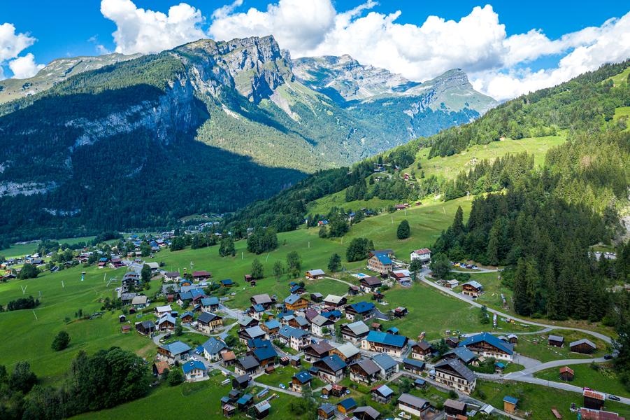
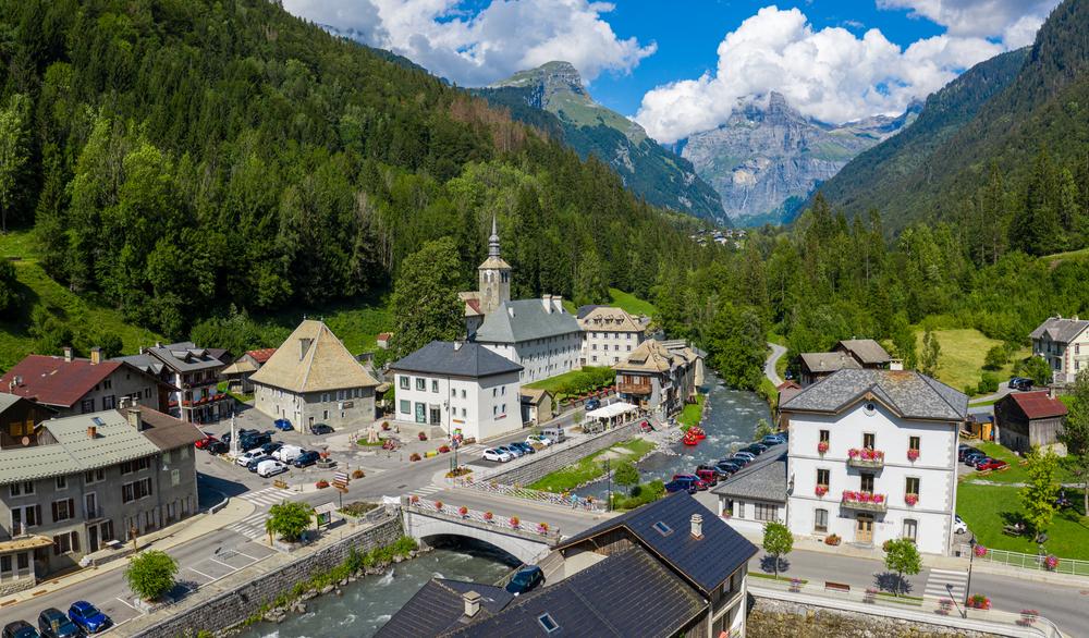
From the village of Sixt-Fer-à-Cheval, set out to explore the hamlet of Salvagny with its traditional architecture, from where you can see the Rouget Waterfall, also known as the “Queen of the Alps.” You’ll then head back down through the hamlet of Maison Neuve and follow the Giffre River to Molliet. On the way back, you’ll follow the stream to reach the village center, where you can admire the 12th-century abbey, a testament to the strong monastic presence in this glacial valley.
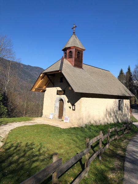
The Haut-GIffre balconies by VTTAE.
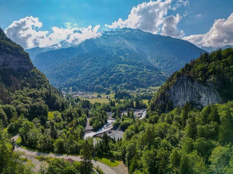
Discover the mystical Tines Gorge on an electric mountain bike.
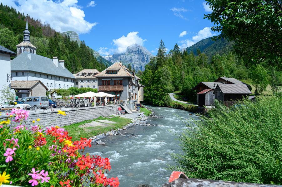
A course that takes you along the water's edge, between the Giffre and the Giffre des Fonts.
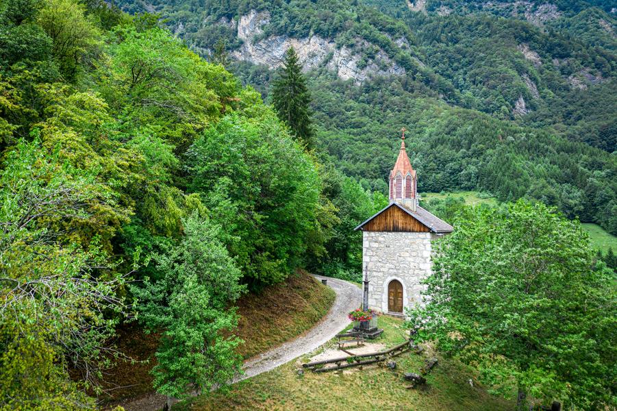
This itinerary takes you up to the chapel and ruins of the castle of the Sires du Faucigny at Châtillon sur Cluses, and guides you along the farm tracks of Mieussy.
This itinerary is, as its name suggests, an invitation to discover the religious heritage of Samoëns, but not only. It takes in the villages farthest from the main town, and offers some of the finest views of the valley.

A round trip to discover the Col de Joux Plane and the mountain pastures above Verchaix.