How to reach the tourist office?


All year round.
Subject to favorable snow and weather conditions.
Distance : 6.4km
Duration : 2h30
Height difference : 180m
Max altitude : 783m
Tracé GPX
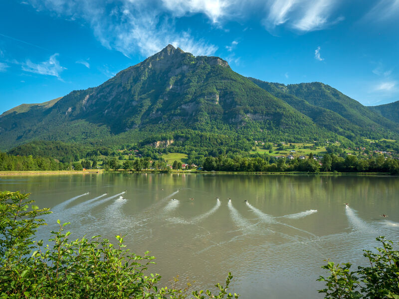
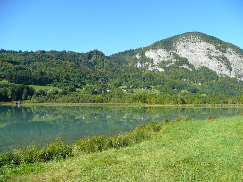
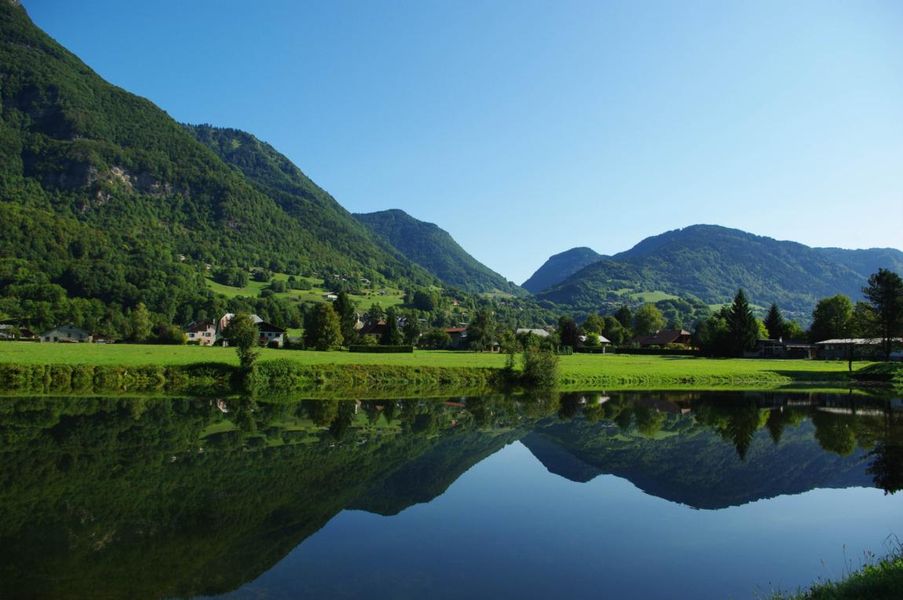
A nature and culture trail This easy trail is a great way to explore the shores of the Lac de Flérier, as well as the villages of Flérier and Taninges.
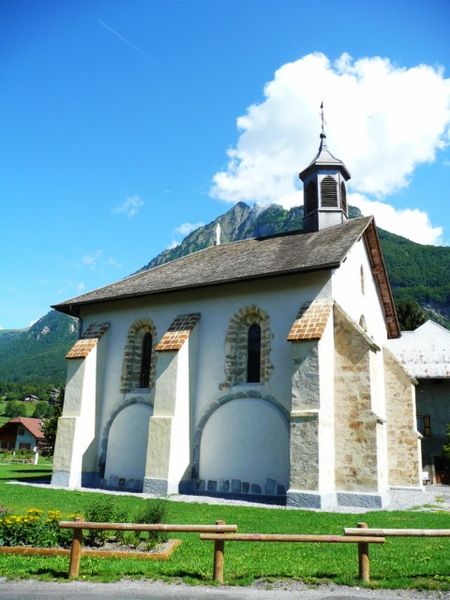
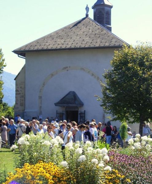
The village of Flérier was the former historic centre of Taninges with a chapel, bread oven and wash-house.
 Complément d'informations
Adapt your equipment to your level and the weather. Stay on the marked trails.
From Taninges town hall, walk alongside the Foron and then take the footpath along the right banks of the Foron, towards Flérier. This itinerary joins onto the green trail “Au Fil du Giffre” when you get near to the Lac de Flérier. In the area around Faucigny fish farm, we can see evidence of the presence of beavers (rough dams built, trees gnawed down). The trail goes via Flérier, then the hamlet of “Les Crottuts” before crossing the D907 at “Chez les Montant” / “les Verchères”. Follow an uphill footpath between field and forest then go right along a path that leads through some pretty hilltop villages, ""Sur Marcelly"", ""Marcelly"" and ""Sous Marcelly"". Then head back down to Taninges with some impressive viewpoints overlooking the village, via Hauteville and the “Montée du Sapeur”.