How to reach the tourist office?


All year round.
Subject to favorable snow and weather conditions.
Distance : 19.6km
Duration : 5h35
Height difference : 510m
Max altitude : 858m
Tracé GPX
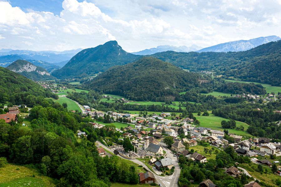
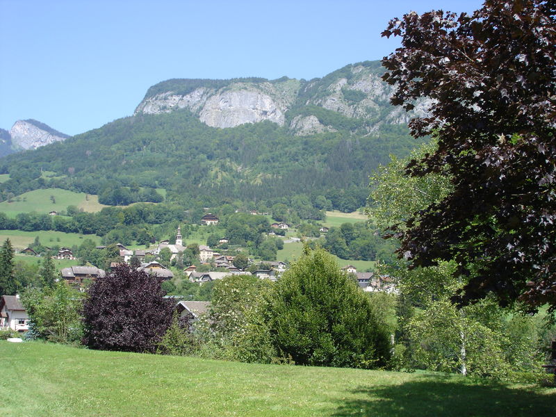
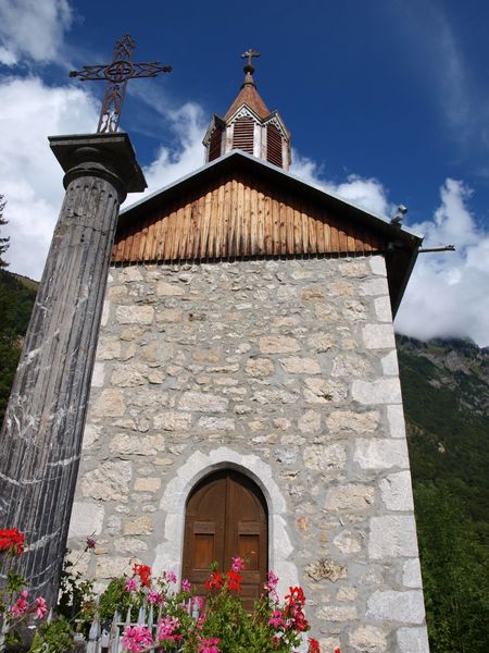
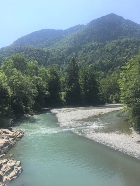
Trail between the villages of Taninges and Mieussy, along both banks of the Giffre. Long and varied itinerary through forests, villages and rivers!
 Complément d'informations
Adapt your equipment according to your level and the weather. Stay on the marked trails.