How to reach the tourist office?


From 05/07 to 31/08 daily.
Distance : 6.3km
Duration : 1h50
Height difference : 100m
Max altitude : 771m
Wooden posts and yellow signs, indicating the names of localities and remaining journey time. Reference topo guide "Rando Bus", n° 6
Approximate GPX route for Gorges des Tines bus tour with public transport
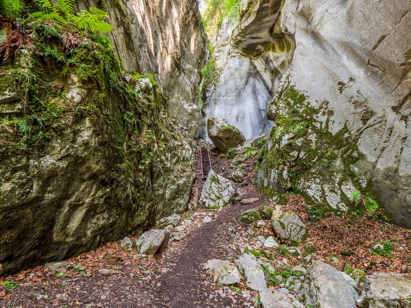
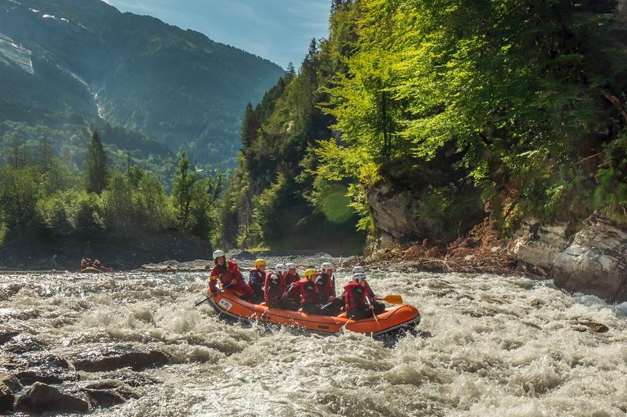
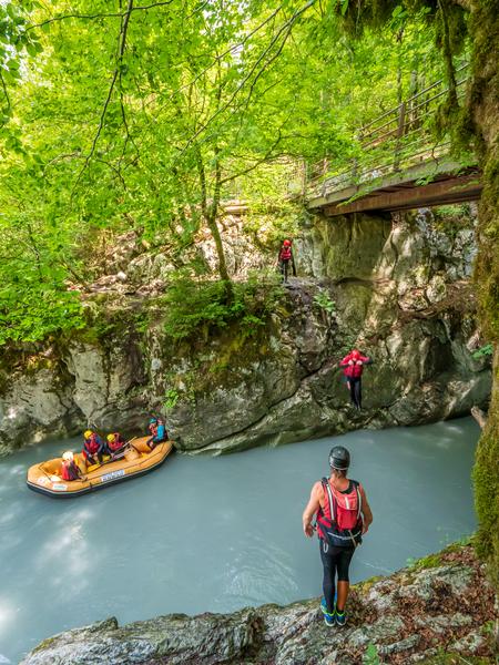
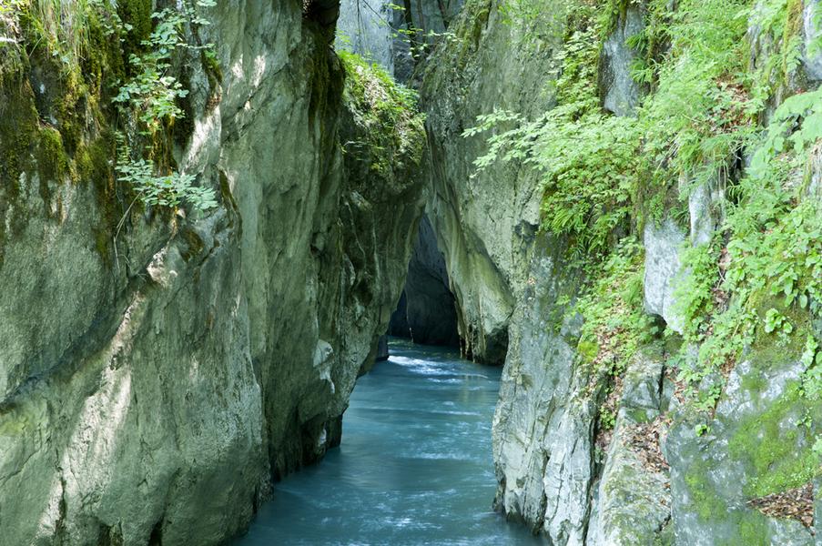
Need to cool off and go for a walk? Head for the Gorges des Tines! Use the destination's mobility network to hike for longer, without having to make the round trip.
Departure on foot from Samoëns - Grand Massif Express
Take the Au Fil du Giffre trail towards Sixt-Fer-à-Cheval.
After crossing the Vallons plain on the banks of the torrent, cross the Pont du Perret.
Pass by the Chapelle Notre-Dame des Grâces, then continue on to the Gorges des Tines.
> Return alternative: take the shuttle bus from the Gorges des Tines stop (-30 min).
Cross the footbridge overlooking the Gorges, then follow the road for a few meters before descending to reach the platform.
platform, which offers a superb view.
Continue towards the village of Sixt-Fer-à-Cheval.
Arrival Sixt-Fer-à-Cheval - Bus station
Return by shuttle bus