How to reach the tourist office?




From 11/06 to 11/09 daily.
Distance : 8.3km
Duration : 4h00
Height difference : 600m
Max altitude : 2350m
Wooden posts and yellow signs, indicating the names of the localities and the remaining journey time.
GPX Track
This hike will take you on a journey through the alpine pastures and to the Tête des Bostan, passing through the Bostan Pass and the Bostan Mountain Hut.
Starting elevation: 1,750 m
Ending elevation: 2,350 m
During the summer, the Bostan area is home to herds and livestock guard dogs; we encourage you to visit the Map.Patou website to check their locations.
1/ From the Bostan Refuge, begin the ascent to Lac des Verdets
2/ Continue to the Col de Bostan
3/ Continue on to the summit of the Tête de Bostan.
4/ You can return via the same route or, alternatively, descend via the Golèse mountain hut.
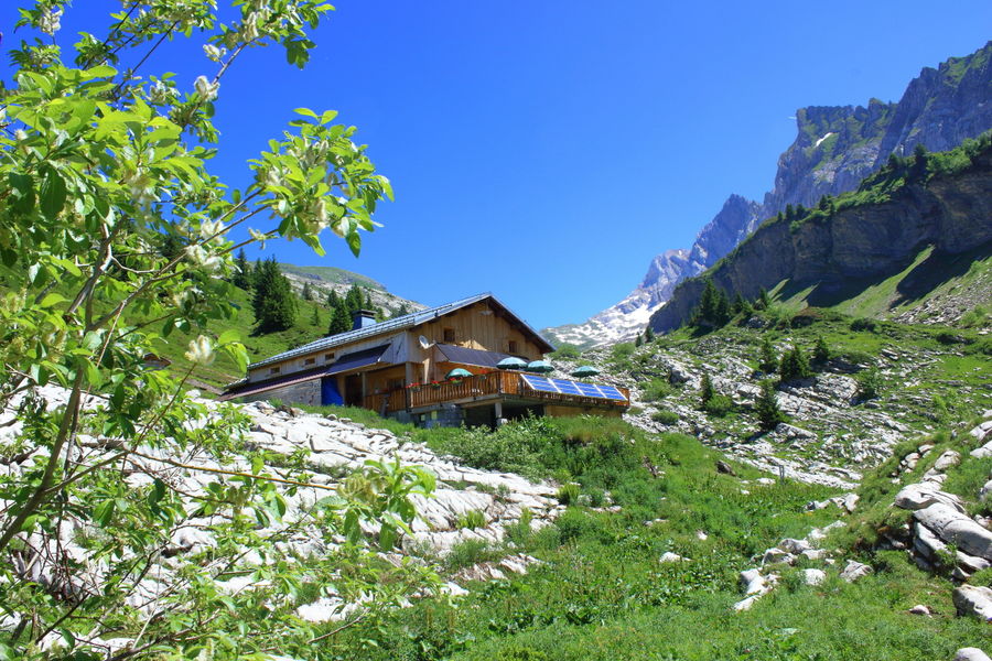
Above Samoëns and isolated in the mountains, the Bostan refuge is the ideal place to welcome hikers for a short break or for the night. Accommodation and catering in the mountains. Home and local products. Pleasure for the eyes and taste bu...
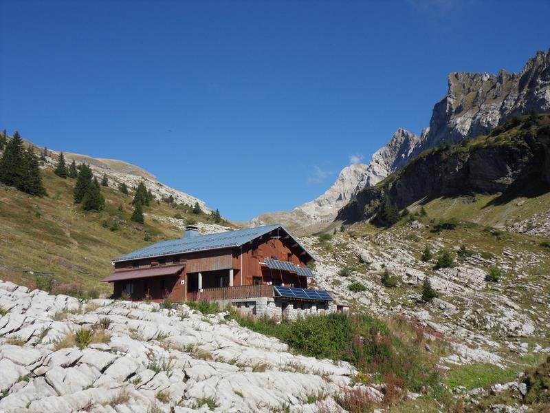
Above Samoëns, this mountain chalet is located under the "dents blanches", the highest point in the area. Its terrace faces due west, offering a view over the Giffre valley and the opportunity to enjoy beautiful sunsets.