How to reach the tourist office?


From 05/07 to 31/08 daily.
Distance : 6.3km
Duration : 2h10
Height difference : 100m
Max altitude : 771m
Wooden posts and yellow signs, indicating the names of localities and remaining journey time. Reference topo guide "Rando Bus", n° 6
Approximate route for Gorges des Tines bus tour with public transport
Approximate GPX route for Gorges des Tines bus tour with public transport
2024 summer shuttle schedule
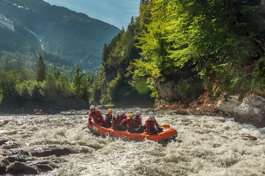
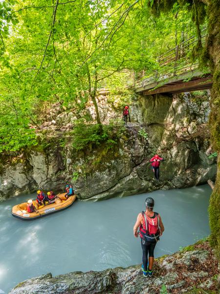
Need to cool off and go for a walk? Head for the Gorges des Tines! Use the destination's mobility network to hike for longer, without having to make the round trip.
Departure on foot from Samoëns - Grand Massif Express
Take the Au Fil du Giffre trail towards Sixt-Fer-à-Cheval.
After crossing the Vallons plain on the banks of the torrent, cross the Pont du Perret.
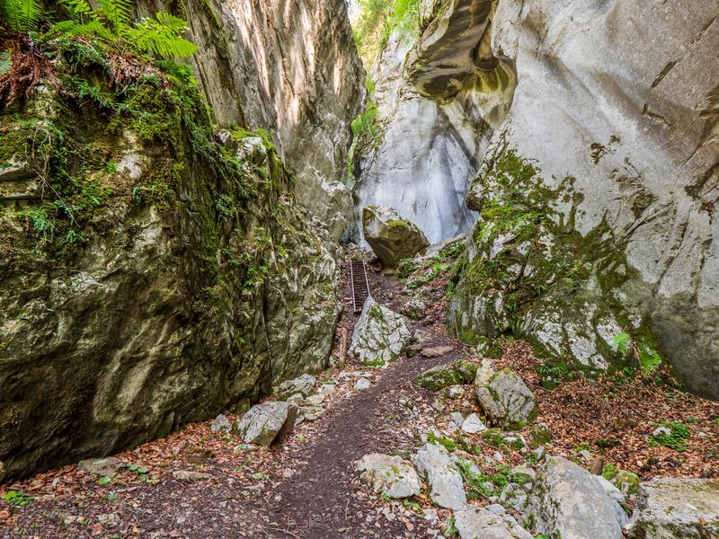
Pass by the Chapelle Notre-Dame des Grâces, then continue on to the Gorges des Tines.
> Return alternative: take the shuttle bus from the Gorges des Tines stop (-30 min).
Cross the footbridge overlooking the Gorges, then follow the road for a few meters before descending to reach the platform.
platform, which offers a superb view.
Continue towards the village of Sixt-Fer-à-Cheval.
Arrival Sixt-Fer-à-Cheval - Bus station
Return by shuttle bus


