How to reach the tourist office?


From 06/07 to 01/09 daily.
Distance : 10km
Duration : 4h10
Height difference : 550m
Max altitude : 1981m
Tracé GPX
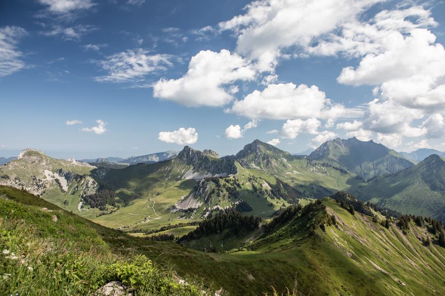
Rando'bus is an original proposal for hiking in the Montagnes du Giffre thanks to the summer shuttle service. Use the destination's mobility network to hike for longer, without having to make the round trip.
Step-by-step description :
- Departure Praz de Lys - resort center
- Take the path to the right of the Chevaly ski lift up to Le Chars.
- Cross the road and head up the slope. At the top, turn right to go back down the Bettex piste.
- From the Molliettes parking lot, follow a steep rocky path to Lac de Roy.
- Continue to the left of the lake and follow the path that climbs steadily up the mountainside until you reach the path leading to the Haut Fleury peak.
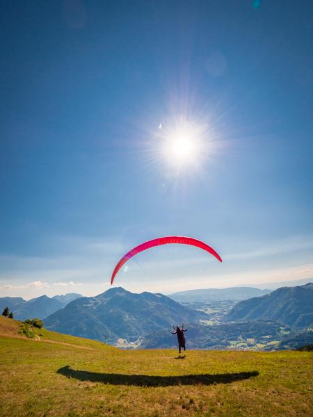
- Descend towards Pointe de Perret, then to Pertuiset, a paraglider launch site.
- Descend to the right towards the Ima forest and return via the Roche-Pallud road.
- Arrival at Lac de Sommand - Return by shuttle bus