How to reach the tourist office?


From 15/05 to 15/11.
Subject to favorable snow and weather conditions.
Distance : 8.5km
Duration : 4h00
Height difference : 610m
Max altitude : 1989m
Tracé GPX
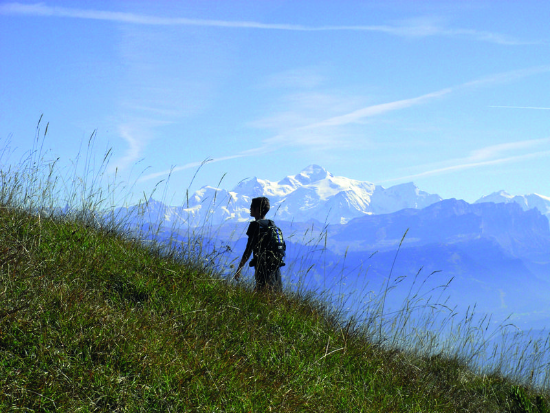
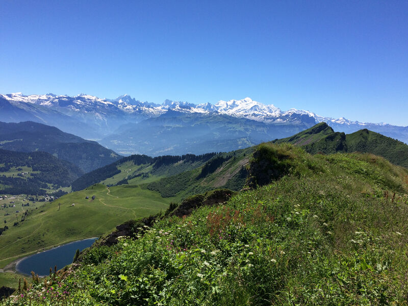
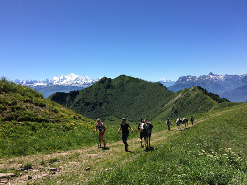
Mid-mountain trail with a section across the ridges offering some remarkable views of the Lac de Roy, the pastures, Mont-Blanc mountains and Chablais peaks.
Marmots and chamois love the areas around the Lac de Roy, a natural glacial lake and Gron pastures. Cows also enjoy grazing in this beautiful area in the summer season. Along the ridge, there’s a clear view across Giffre Valley, the Môle and Aravis mountains. The 360° panoramic view from the Pic de Marcelly is superb.
 Complément d'informations
Adapt your equipment according to your level and the weather. Stay on the marked trails.
About 100 m from the car park, follow signposts for the Lac de Roy. When you arrive, go around the lake to the left towards the “Frêtes de Penaille”. The track then gets closer to the edge and there’s a section along the ridges towards the Pointe de la Couennasse.
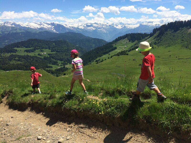
To reach the Pic du Marcelly at an altitude of 1,999m, it is possible to avoid the Pas de l’Ane with the cables to hold onto, by going around the peak on the northern side. The itinerary is not advised for young children due to the sections close to the edge, between the Frêtes de Penaille and the Pic de Marcelly.
Come back via Gron pastures.