How to reach the tourist office?


From 01/06 to 15/10 daily.
Distance : 4.3km
Duration : 1h30
Height difference : 160m
Max altitude : 1700m
GPX plot
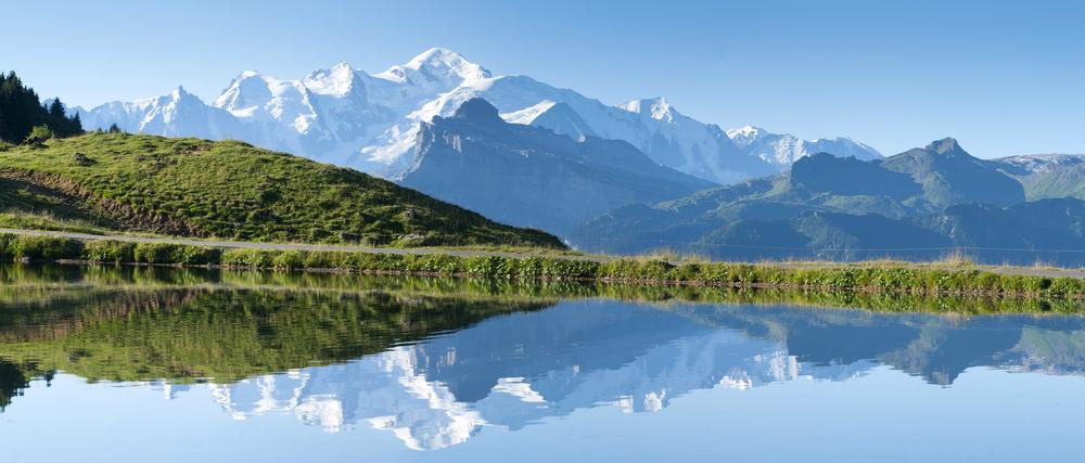
This route takes you to two mountain lakes in different valleys: Lac de Joux Plane in the Giffre valley, and Lac de Nyon in the Morzine valley. You'll also be able to admire Mont Blanc in the background!
Difficulty: easy
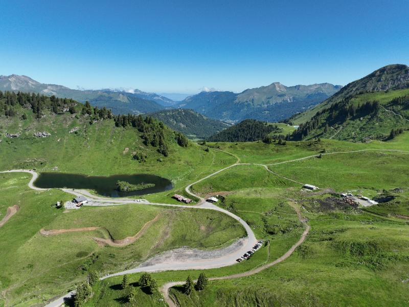
Start: Lac de Joux Plane (at the top of the Col de Joux Plane)
From Lac de Joux Plane, turn right onto the path leading to the real Col de Joux Plane, located between Tête de Vuargne on the left and Pointe d'Angolon on the right. From the col, a path leads down to Lac de Nyon, with the Pointe de Nyon and Pointe d'Angolon in front of you.
1/ From the Col de Joux Plane lake.
2/ Take the path towards Col de Joux Plane.
3/ Follow the signs for Lac de Nyon.
4/ Return along the same path.
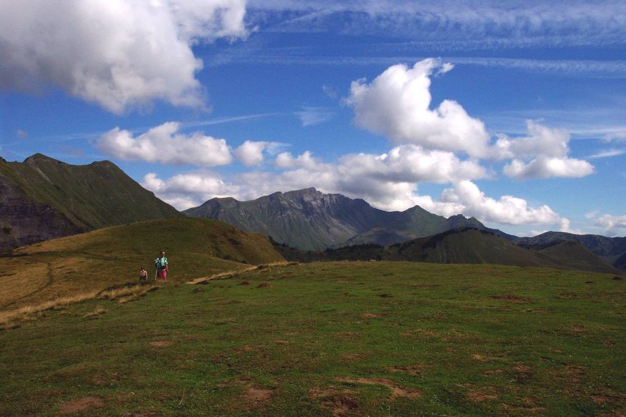
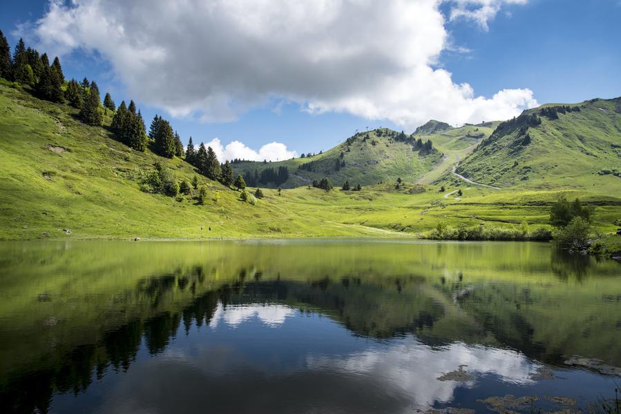
Short hike accessible to all, joining the Bourgeoise from the Col de Joux Plane. This summit, located at 1770 meters of altitude, constitutes a superb viewpoint on the Mont-Blanc and the summit of the Giffre massif surrounding.
Want to walk down the southern slope from the legendary Joux Plane pass? Use the destination's mobility network to hike for longer, without having to make the round trip.

This aerial route is a wonderful viewpoint over the Chablais, Haut Giffre and Mont Blanc massifs. The Joux Plane lake is an artificial lake used to water the herds of the mountain pasture and to regulate the course of the Valentine torrent.
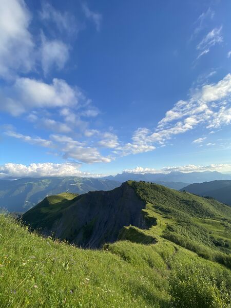
From the Col de Joux Plane this route follows the ridge leading from the Pointe de Chamossiere to the summit of the Pointe d'Angolon. This is a little frequented but very interesting hike that opens onto a beautiful panorama.

From Col de Joux Plane, this route follows the ridge leading from Pointe de Chamossiere to the summit of Pointe d'Angolon. Return via the Bourgeoise.


