How to reach the tourist office?


All year round.
Subject to favorable snow and weather conditions.
Distance : 15.9km
Duration : 4h00
Height difference : 540m
Max altitude : 660m
Tracé GPX
A hike to explore the villages in the south of Giffre Valley, where the traditional Savoyard dwellings have been preserved. On the way back you’ll walk along the Art and Nature Trail alongside the Giffre.
 Complément d'informations
Adapt your equipment according to your level and the weather. Stay on the marked trails.
From the car park, go to the marketplace and then the Montée du Char (beginning with steps) towards the village of Avonnex. When you leave the village, cross the D902 and follow a small tarmac road for 100m, then go right on a footpath that leads to the highest point of this trail, the Suet (alt. 920m). From there, go down to the village of Le Mont, and then carry on to Verney. Cross through La Chavonette, then the villages of Verdevant, Etry and Petit Jutteninges. On the way back, cross the D907 and go along the right banks of the Giffre to Taninges.
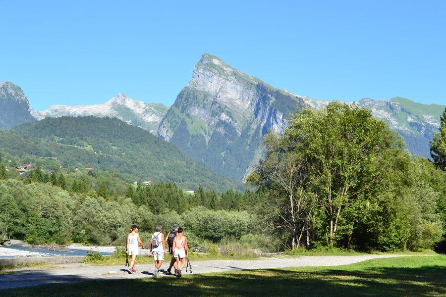
The easy-going “Au Fil du Giffre” trail is the ideal exploration of the valley, through a superb natural environment...
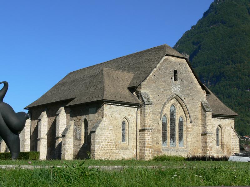
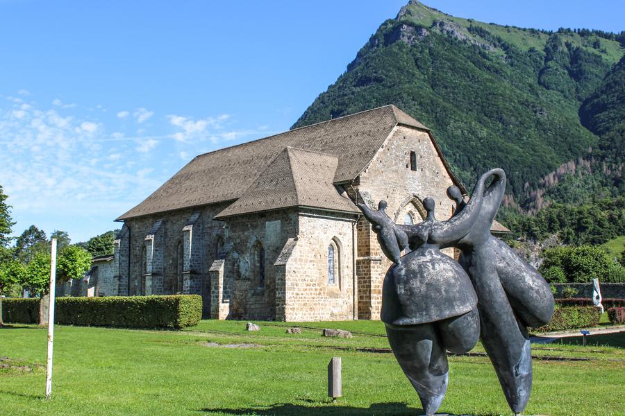
The Chartreuse de Mélan is a place steeped in history, combining medieval sobriety and contemporary art. Discover its church, cloister and park of monumental contemporary art sculptures.


