How to reach the tourist office?


From 15/06 to 30/09 daily.
Subject to favorable snow and weather conditions.
Distance : 12.5km
Height difference : 1055m
Max altitude : 2000m
Departmental signposting on beige metal panels with green lettering.
Tracé GPX
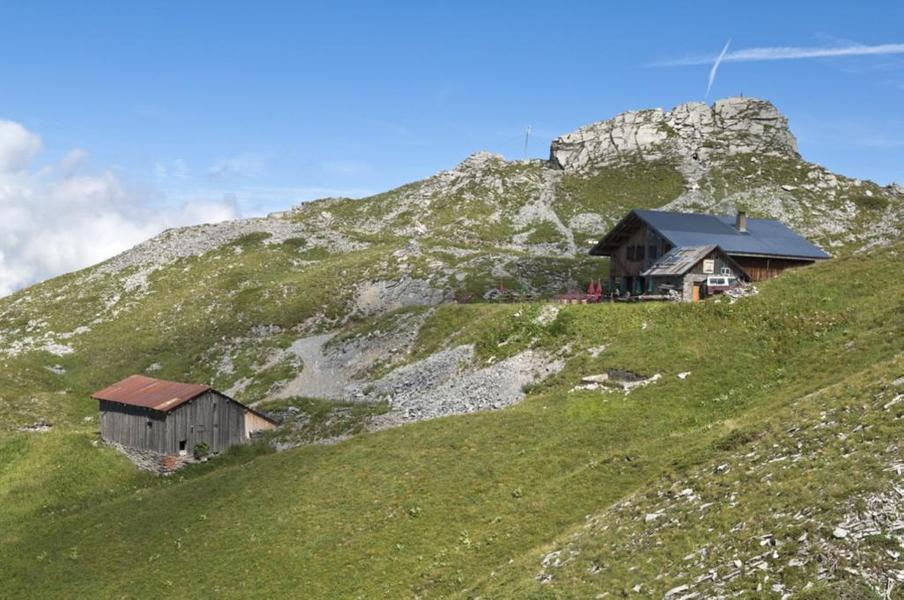
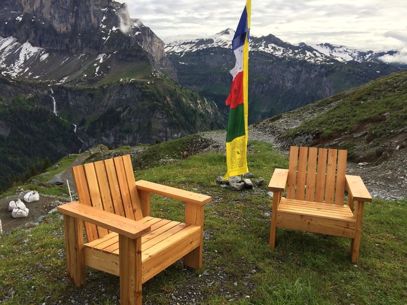
A short sportive itinerary that will take you to the Grenairon refuge, formerly called the Buet chalet hotel. Nestled at an altitude of 1974 meters, it offers a magnificent view of the Fiz chain and the Anterne valley.
This beautiful and rather physical itinerary leads you to the Refuge de Grenairon.
On the foothills of the Mont Buet, this place is a great reward and will compensate your efforts on the way up with its magnificent panorama and its generous restaurant based on local products.
From the hamlet of Salvagny, you will walk in the footsteps of the first mountaineers. Indeed, the refuge of Grenairon constitutes an important stage for the ascent of the mount Buet (3100m), the highest summit of Haute-Savoie if we except the Mont Blanc.
It is moreover following its ascent by Jane and Mary Parminter in 1786 that the mount Buet was nicknamed the "Mont Blanc des Dames".
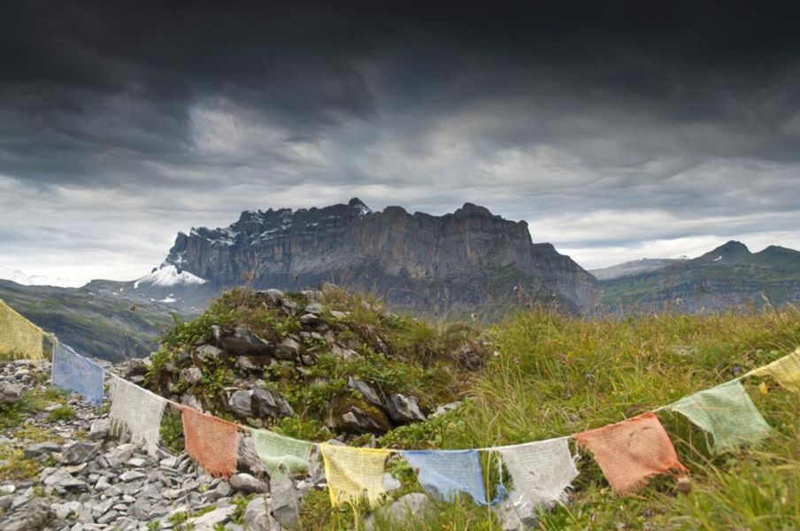
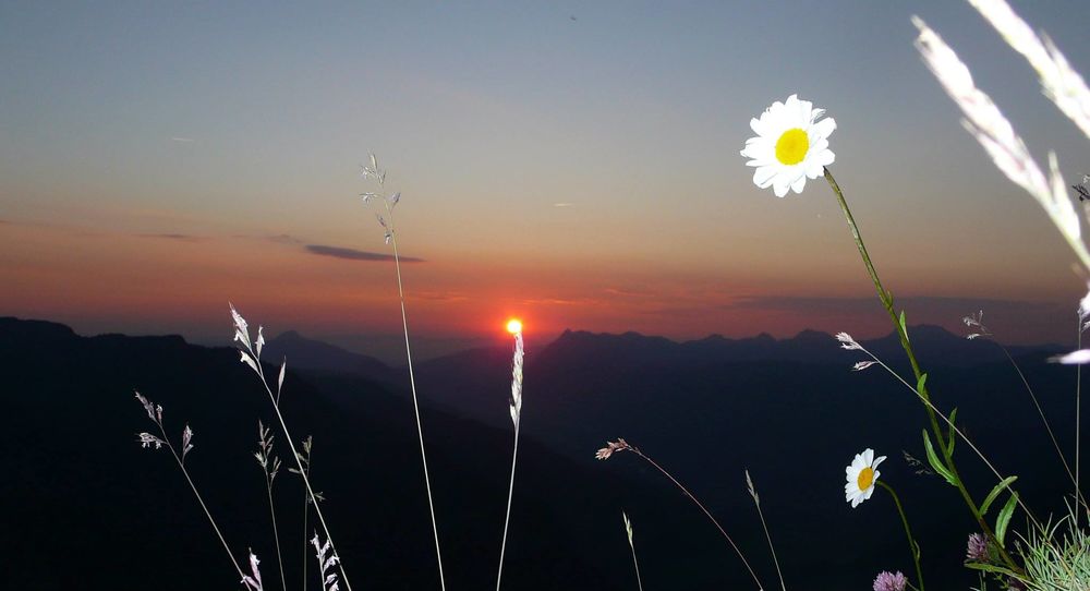
The itinerary takes you over the Cirque des Fonts, allowing you to observe the path of the Giffre des Fonts since its source.
You will also have the opportunity to discover the mountain pasture of Grenairon. Let yourself be tempted by the delicious goat cheese produced on the spot.
 Complément d'informations
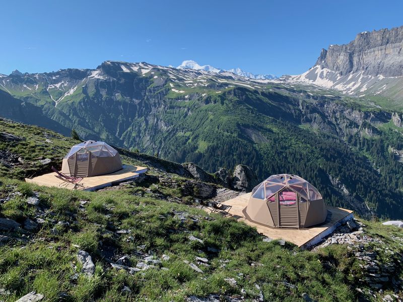
Don't forget to book your accommodation in advance.
1/ DAY 1 - From "La Feulatière (Parking)" to Refuge de Grenairon. Head for Refuge de Grenairon via Les Crépines. Continue towards Refuge de Grenairon, passing through "Les Fontaines (Parking)", "La Grande Joux" and "Les Crépines" - Arrival at Refuge de Grenairon.
2/ DAY 2 - From Refuge de Grenairon to "La Feulatière" parking lot. Follow signs for "La Feulatière (Parking) par le Nant Sec". Always follow the signs for La Feulatière at "Nant Sec" to reach your starting point.
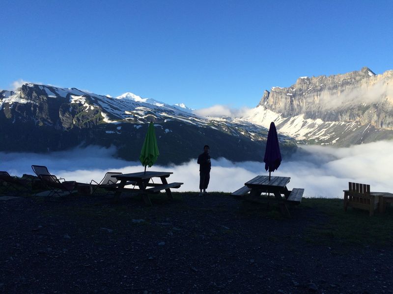
Enjoy 360° panoramic views of Mont Buet, the valley of Anterne and the majestic Fiz mountain range with Mont Blanc in the background. The villages of Samoëns and Sixt and the Giffre Valley can be seen below.
A short, sporty itinerary to the Grenairon refuge, formerly known as the Chalet Hôtel du Buet. Nestled at an altitude of 1974 metres, it offers magnificent views of the Fiz mountain range and the Anterne valley.

A short, sporty itinerary to the Grenairon refuge, formerly known as the Chalet Hôtel du Buet. Nestled at an altitude of 1974 metres, it offers magnificent views of the Fiz mountain range and the Anterne valley.


