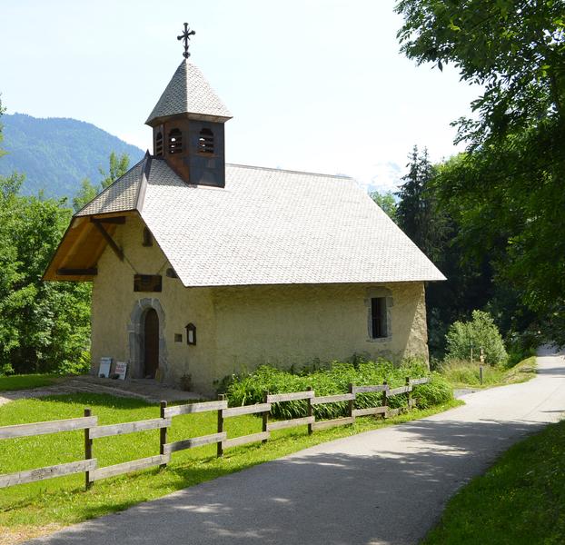
How to reach the tourist office?


From 05/07 to 31/08 daily.
Distance : 4km
Duration : 1h30
Height difference : 115m
Max altitude : 1767m
Wooden posts and yellow signs, indicating the names of localities and remaining journey time. Reference topo guide "Rando Bus", n°5
Route of the Bourgeoise hike with Viso Rando
GPX route of the Bourgeoise hike
Rando'bus is an original proposal for hiking in the Montagnes du Giffre thanks to the summer shuttle service. Use the destination's mobility network to hike for longer, without having to make the round trip.
From the Lac de Joux Plane parking lot, take the path rising to the right of the road, as far as Chalets de Mapellet.
From Chalets de Mapellet, continue left towards Bourgeoise.
Join the path leading to Pointe de Chamossière, before reaching the Table d'orientation de la Bourgeoise after a final climb.
From the Table d'Orientation de la Bourgeoise, return to the starting point by the same route as the outward journey.
Return variant (+30 min, 100 m D+):
From the Bourgeoise orientation table, take the path leading up to the Pointe de Chamossière (an aerial passage, so avoid it in wet weather).
At the Pointe de Chamossière, take the path down towards the Col de Joux Plane.